Leslie Railway
Introduction
The photograph on this page of Leslie Railway by Richard Webb as part of the Geograph project.
The Geograph project started in 2005 with the aim of publishing, organising and preserving representative images for every square kilometre of Great Britain, Ireland and the Isle of Man.

There are currently over 7.5m images from over 14,400 individuals and you can help contribute to the project by visiting https://www.geograph.org.uk
Leslie Railway
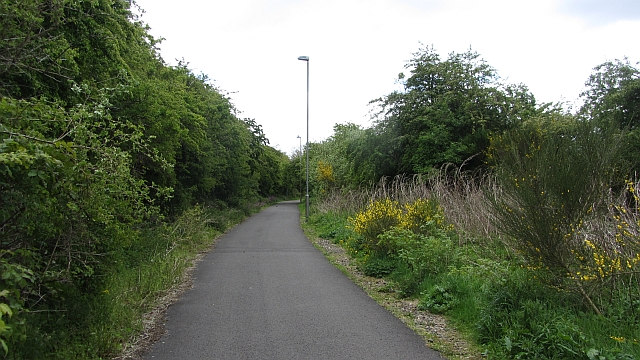
Image: © Richard Webb Taken: 15 May 2012
While the railway branch to Leslie was closed in 1967, this bit is still shown as a railway on my 2002 1:50,000 map and served the paper mills until sometime in the 1990s. It is now a cycle/footpath including the Balbirnie Viaduct.
Images are licensed for reuse under creativecommons.org/licenses/by-sa/2.0
Image Location
Latitude
56.198945
Longitude
-3.14088