Bridge Street, Comber (2)
Introduction
The photograph on this page of Bridge Street, Comber (2) by Albert Bridge as part of the Geograph project.
The Geograph project started in 2005 with the aim of publishing, organising and preserving representative images for every square kilometre of Great Britain, Ireland and the Isle of Man.

There are currently over 7.5m images from over 14,400 individuals and you can help contribute to the project by visiting https://www.geograph.org.uk
Bridge Street, Comber (2)
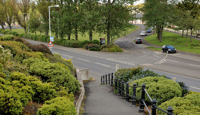
Image: © Albert Bridge Taken: 15 May 2012
Although built mainly on the flat ground close to the shore of Strangford Lough there are some higher places in Comber. This view shows Bridge Street from the relative heights of De Wind Drive.
Images are licensed for reuse under creativecommons.org/licenses/by-sa/2.0
Image Location
Latitude
54.552113
Longitude
-5.738678