Permanscore
Introduction
The photograph on this page of Permanscore by Richard Webb as part of the Geograph project.
The Geograph project started in 2005 with the aim of publishing, organising and preserving representative images for every square kilometre of Great Britain, Ireland and the Isle of Man.

There are currently over 7.5m images from over 14,400 individuals and you can help contribute to the project by visiting https://www.geograph.org.uk
Permanscore
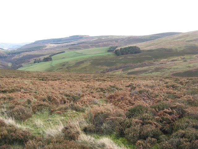
Image: © Richard Webb Taken: 16 Dec 2006
View across the square, and across the Glenkinnon Burn to the edge of the farmland above Williamhope.
Images are licensed for reuse under creativecommons.org/licenses/by-sa/2.0
Image Location


Leaflet Map data © OpenStreetMap
Latitude
55.589695
Longitude
-2.944001