Collapsed verges on Netherton Lane
Introduction
The photograph on this page of Collapsed verges on Netherton Lane by Peter Whatley as part of the Geograph project.
The Geograph project started in 2005 with the aim of publishing, organising and preserving representative images for every square kilometre of Great Britain, Ireland and the Isle of Man.

There are currently over 7.5m images from over 14,400 individuals and you can help contribute to the project by visiting https://www.geograph.org.uk
Collapsed verges on Netherton Lane
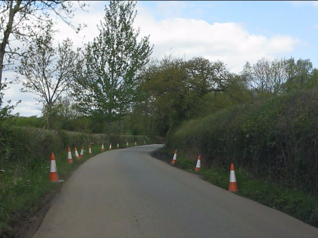
Image: © Peter Whatley Taken: 12 May 2012
Heavy rain during April 2012 - the wettest April for a century - has caused severe damage to the road.
Images are licensed for reuse under creativecommons.org/licenses/by-sa/2.0
Image Location
Latitude
52.448451
Longitude
-2.391485