Bridge Farm, Rushbrooke
Introduction
The photograph on this page of Bridge Farm, Rushbrooke by Bob Jones as part of the Geograph project.
The Geograph project started in 2005 with the aim of publishing, organising and preserving representative images for every square kilometre of Great Britain, Ireland and the Isle of Man.

There are currently over 7.5m images from over 14,400 individuals and you can help contribute to the project by visiting https://www.geograph.org.uk
Bridge Farm, Rushbrooke
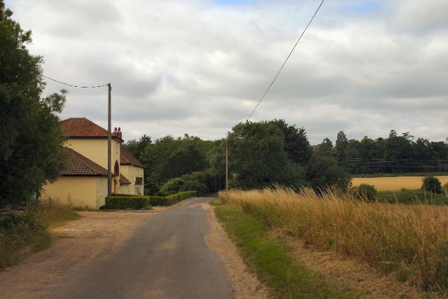
Image: © Bob Jones Taken: 21 Jul 2005
Situated on a minor road leading off the A134, this relatively modern farm is situated close to the former Bury to Sudbury railway line.
Images are licensed for reuse under creativecommons.org/licenses/by-sa/2.0
Image Location


Leaflet Map data © OpenStreetMap
Latitude
52.223417
Longitude
0.742206