Semi-detached bungalows at Queen's Park
Introduction
The photograph on this page of Semi-detached bungalows at Queen's Park by David Smith as part of the Geograph project.
The Geograph project started in 2005 with the aim of publishing, organising and preserving representative images for every square kilometre of Great Britain, Ireland and the Isle of Man.

There are currently over 7.5m images from over 14,400 individuals and you can help contribute to the project by visiting https://www.geograph.org.uk
Semi-detached bungalows at Queen's Park
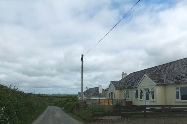
Image: © David Smith Taken: 11 May 2012
The row of four pairs of bungalows surrounded by farmland is named as "Queen's Park" on the OS map
Images are licensed for reuse under creativecommons.org/licenses/by-sa/2.0
Image Location
Latitude
50.833954
Longitude
-4.241699