Driveway to Hall Farm, Rushbrooke
Introduction
The photograph on this page of Driveway to Hall Farm, Rushbrooke by Bob Jones as part of the Geograph project.
The Geograph project started in 2005 with the aim of publishing, organising and preserving representative images for every square kilometre of Great Britain, Ireland and the Isle of Man.

There are currently over 7.5m images from over 14,400 individuals and you can help contribute to the project by visiting https://www.geograph.org.uk
Driveway to Hall Farm, Rushbrooke
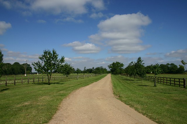
Image: © Bob Jones Taken: 21 Jul 2005
Private driveway to the farm; a footpath has been from the driveway to the edge of the wood at the left of the photo.
Images are licensed for reuse under creativecommons.org/licenses/by-sa/2.0
Image Location


Leaflet Map data © OpenStreetMap
Latitude
52.220211
Longitude
0.763972