Path to the farm?
Introduction
The photograph on this page of Path to the farm? by Michael Dibb as part of the Geograph project.
The Geograph project started in 2005 with the aim of publishing, organising and preserving representative images for every square kilometre of Great Britain, Ireland and the Isle of Man.

There are currently over 7.5m images from over 14,400 individuals and you can help contribute to the project by visiting https://www.geograph.org.uk
Path to the farm?
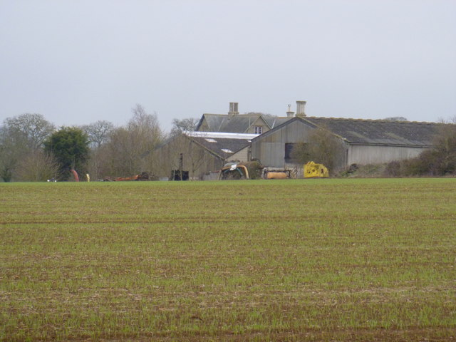
Image: © Michael Dibb Taken: 18 Mar 2012
The OS 1:25,000 map shows a path leaves Cross's Lane at this point and runs across the field to the farm where it ends. Probably totally unused.
Images are licensed for reuse under creativecommons.org/licenses/by-sa/2.0
Image Location


Leaflet Map data © OpenStreetMap
Latitude
51.894206
Longitude
-1.538711