
The Martyrs' Hill
Introduction
The photograph on this page of The Martyrs' Hill by Ed Iglehart as part of the Geograph project.
The Geograph project started in 2005 with the aim of publishing, organising and preserving representative images for every square kilometre of Great Britain, Ireland and the Isle of Man.

There are currently over 7.5m images from over 14,400 individuals and you can help contribute to the project by visiting https://www.geograph.org.uk
The Martyrs' Hill
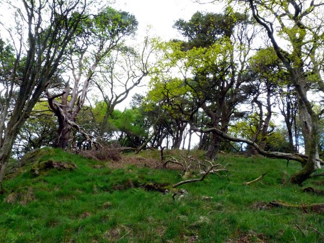
Image: © Ed Iglehart Taken: 12 May 2012
Marked as an ancient earthwork, the site contains the later gravesite attributed to some Covenanters. Forty years ago, having seen an iron age fort marked on the map, I climbed the hill and looked all round the slopes where I thought it was supposed to be, but couldn't see any sign of it....When I went back down the hill I mentioned it to the old gamekeeper's widow, who said, "That's the Martyrs' Hill, with the graves of the Covenanters on it." Later I realised I had been walking all over the site, which, naturally was on the hilltop instead of down the slopes where I expected it - D'oh!! Yesterday, I revisited what is apparently the site of the Covenanters' graves. It's a nicely 'mature' bit of hilltop woodland with Scots Pines and some lovely old oaks, blaeberries, mosses and loads of what George Peterken calls 'coarse deadwood' (CDW) a great indicator of natural forest conditions.
Images are licensed for reuse under creativecommons.org/licenses/by-sa/2.0
Image Location

Latitude
54.905876
Longitude
-3.842401