Temporary closure of part of Praed Street, Paddington
Introduction
The photograph on this page of Temporary closure of part of Praed Street, Paddington by Jaggery as part of the Geograph project.
The Geograph project started in 2005 with the aim of publishing, organising and preserving representative images for every square kilometre of Great Britain, Ireland and the Isle of Man.

There are currently over 7.5m images from over 14,400 individuals and you can help contribute to the project by visiting https://www.geograph.org.uk
Temporary closure of part of Praed Street, Paddington
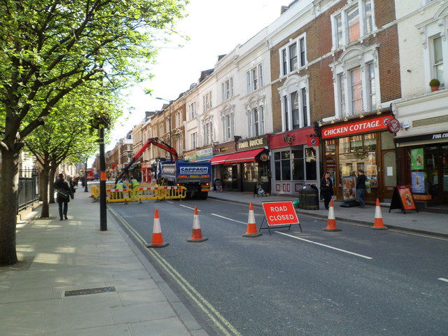
Image: © Jaggery Taken: 12 May 2012
Just after 9 o'clock on a Saturday morning, yellow barriers enclose a small section of roadway. The text on the lorry shows CAPPAGH RECYCLED AGGREGATES.
Images are licensed for reuse under creativecommons.org/licenses/by-sa/2.0
Image Location
Latitude
51.5164
Longitude
-0.173967