Kilmington: Roman road
Introduction
The photograph on this page of Kilmington: Roman road by Martin Bodman as part of the Geograph project.
The Geograph project started in 2005 with the aim of publishing, organising and preserving representative images for every square kilometre of Great Britain, Ireland and the Isle of Man.

There are currently over 7.5m images from over 14,400 individuals and you can help contribute to the project by visiting https://www.geograph.org.uk
Kilmington: Roman road
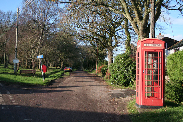
Image: © Martin Bodman Taken: 16 Dec 2006
The Roman road linking Dorchester and Exeter at the junction with The Hill and Shute Road, Kilmington. It climbs and skirts the northern edge of Kilmington Hill to then descend and meet the A35 Trunk Road at Taunton Cross. Looking west-north-west. How long will the telephone box last?
Images are licensed for reuse under creativecommons.org/licenses/by-sa/2.0
Image Location
Latitude
50.780438
Longitude
-3.040635