Whiteinch Riverside Station
Introduction
The photograph on this page of Whiteinch Riverside Station by Richard Webb as part of the Geograph project.
The Geograph project started in 2005 with the aim of publishing, organising and preserving representative images for every square kilometre of Great Britain, Ireland and the Isle of Man.

There are currently over 7.5m images from over 14,400 individuals and you can help contribute to the project by visiting https://www.geograph.org.uk
Whiteinch Riverside Station
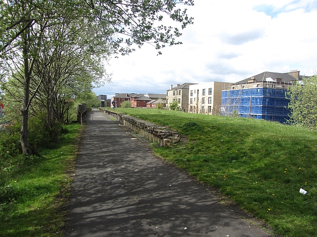
Image: © Richard Webb Taken: 9 May 2012
The Lanarkshire and Dunbartonshire Railway ran alongside the north side of the Clyde and was one of the roots of the Caledonian Railway. The trackbed is now part of the National Cycle Network. The station had an island platform accessed by a stairway from the streets below.
Images are licensed for reuse under creativecommons.org/licenses/by-sa/2.0
Image Location
Latitude
55.874959
Longitude
-4.344758