Demolition Development
Introduction
The photograph on this page of Demolition Development by David Stowell as part of the Geograph project.
The Geograph project started in 2005 with the aim of publishing, organising and preserving representative images for every square kilometre of Great Britain, Ireland and the Isle of Man.

There are currently over 7.5m images from over 14,400 individuals and you can help contribute to the project by visiting https://www.geograph.org.uk
Demolition Development
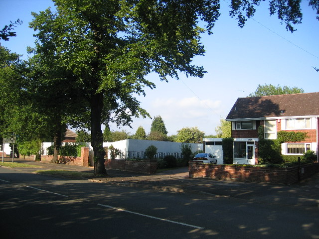
Image: © David Stowell Taken: 21 Jul 2005
The white hoarding marks the site of three large smart 1960's houses which, despite strong local opposition have recently been demolished to make way for blocks of flats. For progress see Image
Images are licensed for reuse under creativecommons.org/licenses/by-sa/2.0
Image Location


Leaflet Map data © OpenStreetMap
Latitude
52.298393
Longitude
-1.530713