Nottingham - NG3 (Mapperley)
Introduction
The photograph on this page of Nottingham - NG3 (Mapperley) by David Hallam-Jones as part of the Geograph project.
The Geograph project started in 2005 with the aim of publishing, organising and preserving representative images for every square kilometre of Great Britain, Ireland and the Isle of Man.

There are currently over 7.5m images from over 14,400 individuals and you can help contribute to the project by visiting https://www.geograph.org.uk
Nottingham - NG3 (Mapperley)
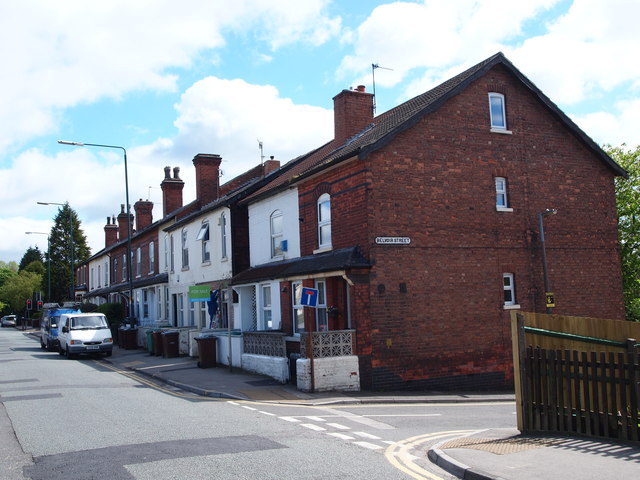
Image: © David Hallam-Jones Taken: 11 May 2012
A view of the junction of Belvoir Street with Woodborough Road, looking towards Mapperley. Whilst at a first glance this stretch of properties looks like a row of terraced houses, the builder working on the property with the "For Sale" sign attached to it had just uncovered a long rectangular shop sign under some rendering he had removed. An elderly man walking past it confirmed that it had been a "beer off" (an off-licence) when he had been a lad and that he had gone into it occasionally and bought sweets there too. In our conversation it transpired that at one time this had in fact been a parade of shops.
Images are licensed for reuse under creativecommons.org/licenses/by-sa/2.0
Image Location
Latitude
52.980794
Longitude
-1.129259