Northeast corner of the fort
Introduction
The photograph on this page of Northeast corner of the fort by Robert Graham as part of the Geograph project.
The Geograph project started in 2005 with the aim of publishing, organising and preserving representative images for every square kilometre of Great Britain, Ireland and the Isle of Man.

There are currently over 7.5m images from over 14,400 individuals and you can help contribute to the project by visiting https://www.geograph.org.uk
Northeast corner of the fort
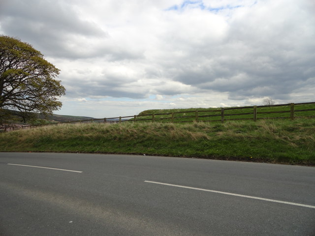
Image: © Robert Graham Taken: 16 Apr 2012
Like most of Longovicium Roman fort, this part is covered in grass and has never been excavated. View is from the road, as there is no public access.
Images are licensed for reuse under creativecommons.org/licenses/by-sa/2.0
Image Location
Latitude
54.817242
Longitude
-1.753162