Lowick grain silos
Introduction
The photograph on this page of Lowick grain silos by Graham Robson as part of the Geograph project.
The Geograph project started in 2005 with the aim of publishing, organising and preserving representative images for every square kilometre of Great Britain, Ireland and the Isle of Man.

There are currently over 7.5m images from over 14,400 individuals and you can help contribute to the project by visiting https://www.geograph.org.uk
Lowick grain silos
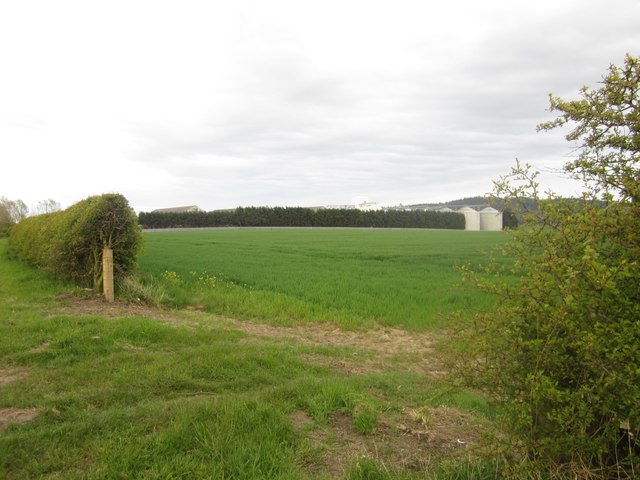
Image: © Graham Robson Taken: 9 May 2012
Lowick's Frontier Grain Silos seen through a field gateway. The silos and tops of the large grain storage sheds can be seen above the top of the trees on the site boundary.
Images are licensed for reuse under creativecommons.org/licenses/by-sa/2.0
Image Location
Latitude
55.651639
Longitude
-1.963107