Buildings at Manor Farm beside A338
Introduction
The photograph on this page of Buildings at Manor Farm beside A338 by Roger Templeman as part of the Geograph project.
The Geograph project started in 2005 with the aim of publishing, organising and preserving representative images for every square kilometre of Great Britain, Ireland and the Isle of Man.

There are currently over 7.5m images from over 14,400 individuals and you can help contribute to the project by visiting https://www.geograph.org.uk
Buildings at Manor Farm beside A338
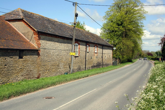
Image: © Roger Templeman Taken: 12 May 2012
There is an OS benchmark Image at the bottom of the brick column at the junction of the buildings (stables and office units)
Images are licensed for reuse under creativecommons.org/licenses/by-sa/2.0
Image Location
Latitude
51.575163
Longitude
-1.428237