Road, south of the Gadloch
Introduction
The photograph on this page of Road, south of the Gadloch by Richard Webb as part of the Geograph project.
The Geograph project started in 2005 with the aim of publishing, organising and preserving representative images for every square kilometre of Great Britain, Ireland and the Isle of Man.

There are currently over 7.5m images from over 14,400 individuals and you can help contribute to the project by visiting https://www.geograph.org.uk
Road, south of the Gadloch
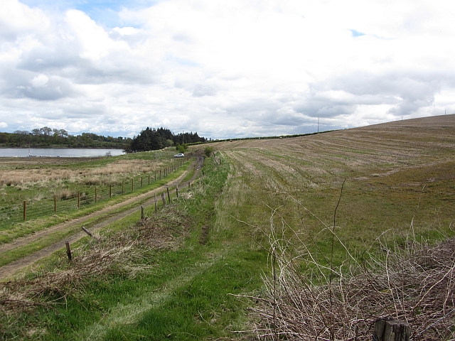
Image: © Richard Webb Taken: 9 May 2012
Leads to a car park (fishing?) and is wisely locked. Keep out signs, apart from being of dubious legality do not deter dumpers. Someone was struggling with the lock.
Images are licensed for reuse under creativecommons.org/licenses/by-sa/2.0
Image Location
Latitude
55.911578
Longitude
-4.171111