Errwood Road Bridge
Introduction
The photograph on this page of Errwood Road Bridge by Graham Hogg as part of the Geograph project.
The Geograph project started in 2005 with the aim of publishing, organising and preserving representative images for every square kilometre of Great Britain, Ireland and the Isle of Man.

There are currently over 7.5m images from over 14,400 individuals and you can help contribute to the project by visiting https://www.geograph.org.uk
Errwood Road Bridge
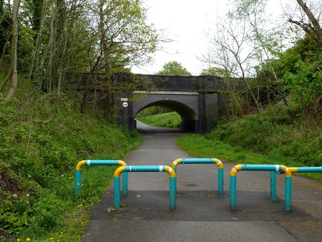
Image: © Graham Hogg Taken: 9 May 2012
A road bridge over the "Fallowfield Loop", an off-road cycleway and footpath in Manchester. The Loop is part of National Route 6 of the National Cycle Network and was previously part of the old ‘Manchester Central Station Railway’, built in the 1890s and closed in 1988
Images are licensed for reuse under creativecommons.org/licenses/by-sa/2.0
Image Location
Latitude
53.440457
Longitude
-2.193406