Back of the Burges
Introduction
The photograph on this page of Back of the Burges by E Gammie as part of the Geograph project.
The Geograph project started in 2005 with the aim of publishing, organising and preserving representative images for every square kilometre of Great Britain, Ireland and the Isle of Man.

There are currently over 7.5m images from over 14,400 individuals and you can help contribute to the project by visiting https://www.geograph.org.uk
Back of the Burges
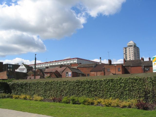
Image: © E Gammie Taken: 12 May 2012
The backs of buildings in the Burges from the pocket park which replaced the stalled redevelopment planned for the Smithfield Tavern site in Hales Street. Beyond the Burges are Hillman House tower block on the right and the top of West Orchards shopping complex on the left.
Images are licensed for reuse under creativecommons.org/licenses/by-sa/2.0
Image Location


Leaflet Map data © OpenStreetMap
Latitude
52.409971
Longitude
-1.510713