Nottingham - NG3 (Old Sneinton)
Introduction
The photograph on this page of Nottingham - NG3 (Old Sneinton) by David Hallam-Jones as part of the Geograph project.
The Geograph project started in 2005 with the aim of publishing, organising and preserving representative images for every square kilometre of Great Britain, Ireland and the Isle of Man.

There are currently over 7.5m images from over 14,400 individuals and you can help contribute to the project by visiting https://www.geograph.org.uk
Nottingham - NG3 (Old Sneinton)
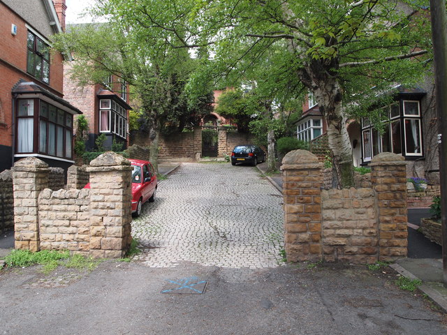
Image: © David Hallam-Jones Taken: 12 May 2012
The lower half of Holroyd Avenue - off Sneinton Dale - has been 'adopted' by Nottingham City Council whilst the upper end of it has not, hence half of the road is occasionally resurfaced whilst the end beyond the gate posts remains surfaced by setts. "Rockside", the large house at the top of the slope was built in 1910, whereas the four smaller houses were later 'in-fillings'.
Images are licensed for reuse under creativecommons.org/licenses/by-sa/2.0
Image Location
Latitude
52.951569
Longitude
-1.12806