Nottingham - NG3 (Old Sneinton)
Introduction
The photograph on this page of Nottingham - NG3 (Old Sneinton) by David Hallam-Jones as part of the Geograph project.
The Geograph project started in 2005 with the aim of publishing, organising and preserving representative images for every square kilometre of Great Britain, Ireland and the Isle of Man.

There are currently over 7.5m images from over 14,400 individuals and you can help contribute to the project by visiting https://www.geograph.org.uk
Nottingham - NG3 (Old Sneinton)
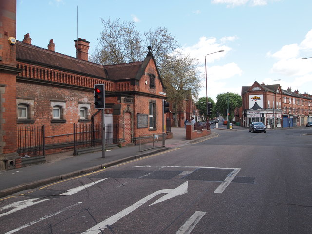
Image: © David Hallam-Jones Taken: 12 May 2012
This former police station on Sneinton Hermitage (< road name) opened in 1894. At the junction ahead, the right hand branch becomes Colwick Road and the road to the left of the shop becomes Sneinton Boulevard.
Images are licensed for reuse under creativecommons.org/licenses/by-sa/2.0
Image Location
Latitude
52.949328
Longitude
-1.128849