Avenue to Overtoun House
Introduction
The photograph on this page of Avenue to Overtoun House by Lairich Rig as part of the Geograph project.
The Geograph project started in 2005 with the aim of publishing, organising and preserving representative images for every square kilometre of Great Britain, Ireland and the Isle of Man.

There are currently over 7.5m images from over 14,400 individuals and you can help contribute to the project by visiting https://www.geograph.org.uk
Avenue to Overtoun House
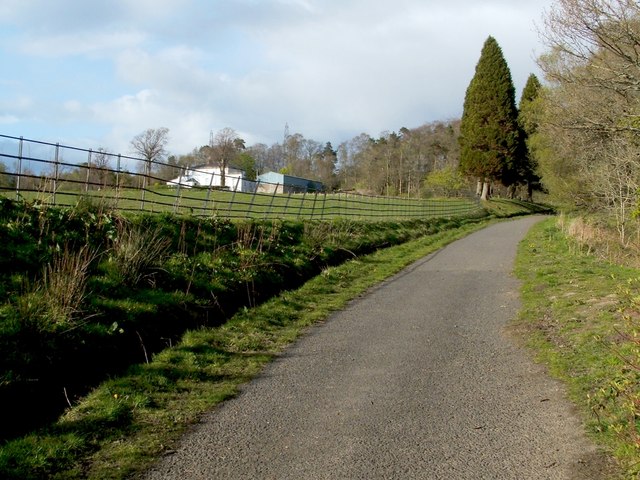
Image: © Lairich Rig Taken: 27 Apr 2012
This road was built as an avenue that led uphill from Image (the building on the right in that photograph was a lodge), and which crossed Overtoun Bridge – http://www.geograph.org.uk/snippet/5180 – to provide access to Image The avenue was part of the same building programme as the bridge, and it was opened on the 7th of June, 1895; see Image Compare Image Later housing developments make it harder to recognise the lower half of the original avenue as such, but see Image and Image for parts of it. Above Campbell Avenue, which is at the top of the area of housing, the avenue is easier to discern: see Image and the present photograph. The building on the left is Image
Images are licensed for reuse under creativecommons.org/licenses/by-sa/2.0
Image Location
Latitude
55.952399
Longitude
-4.532538