Talbot Street
Introduction
The photograph on this page of Talbot Street by John Sutton as part of the Geograph project.
The Geograph project started in 2005 with the aim of publishing, organising and preserving representative images for every square kilometre of Great Britain, Ireland and the Isle of Man.

There are currently over 7.5m images from over 14,400 individuals and you can help contribute to the project by visiting https://www.geograph.org.uk
Talbot Street
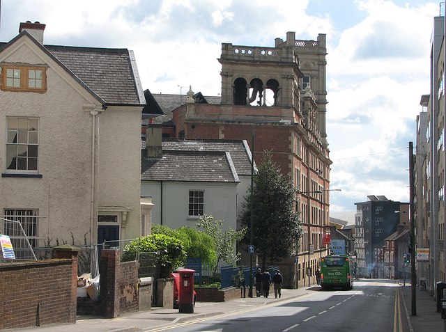
Image: © John Sutton Taken: 11 May 2012
The view is dominated by Lambert's Factory, a hosiery works dating from 1864, now offices. The single-decker bus from Wollaton is making its way into town.
Images are licensed for reuse under creativecommons.org/licenses/by-sa/2.0
Image Location
Latitude
52.955901
Longitude
-1.155214