Cheriton Avenue, Harefield, Southampton
Introduction
The photograph on this page of Cheriton Avenue, Harefield, Southampton by GaryReggae as part of the Geograph project.
The Geograph project started in 2005 with the aim of publishing, organising and preserving representative images for every square kilometre of Great Britain, Ireland and the Isle of Man.

There are currently over 7.5m images from over 14,400 individuals and you can help contribute to the project by visiting https://www.geograph.org.uk
Cheriton Avenue, Harefield, Southampton
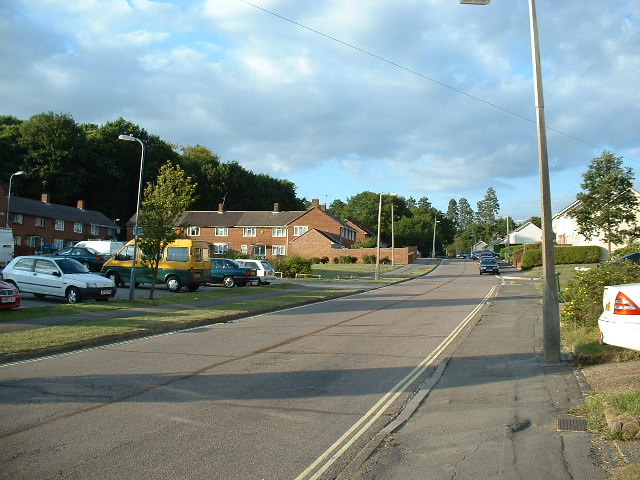
Image: © GaryReggae Taken: 21 Jul 2005
Harefield is predominantly 1950s design low density housing.
Images are licensed for reuse under creativecommons.org/licenses/by-sa/2.0
Image Location
Latitude
50.919094
Longitude
-1.339857