Lane from Hillgrove to Northchapel
Introduction
The photograph on this page of Lane from Hillgrove to Northchapel by Robin Webster as part of the Geograph project.
The Geograph project started in 2005 with the aim of publishing, organising and preserving representative images for every square kilometre of Great Britain, Ireland and the Isle of Man.

There are currently over 7.5m images from over 14,400 individuals and you can help contribute to the project by visiting https://www.geograph.org.uk
Lane from Hillgrove to Northchapel
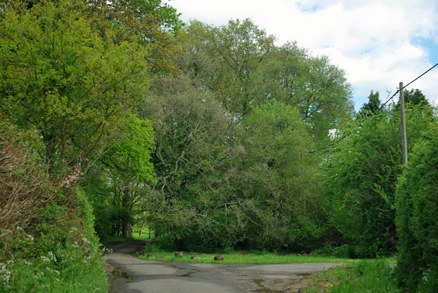
Image: © Robin Webster Taken: 11 May 2012
A few houses on the fringe of Northchapel have been passed, but beyond the belt of woodland ahead the village really starts.
Images are licensed for reuse under creativecommons.org/licenses/by-sa/2.0
Image Location
Latitude
51.053406
Longitude
-0.646684