Old road, Cleddon
Introduction
The photograph on this page of Old road, Cleddon by Richard Webb as part of the Geograph project.
The Geograph project started in 2005 with the aim of publishing, organising and preserving representative images for every square kilometre of Great Britain, Ireland and the Isle of Man.

There are currently over 7.5m images from over 14,400 individuals and you can help contribute to the project by visiting https://www.geograph.org.uk
Old road, Cleddon
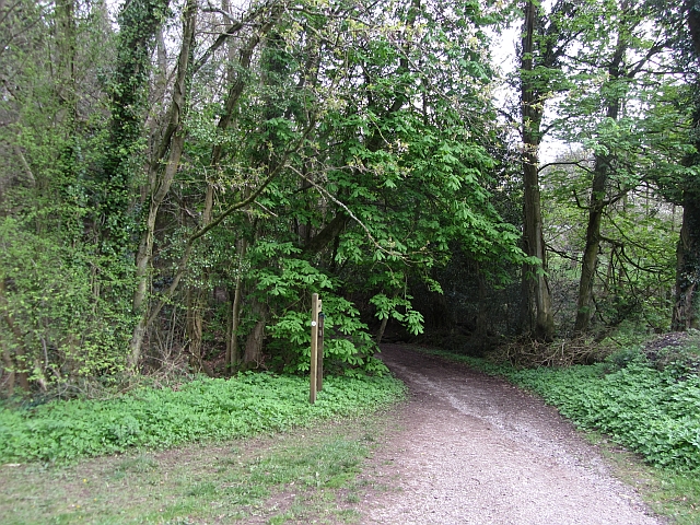
Image: © Richard Webb Taken: 6 May 2012
A track waymarked by a coach and horses sign which I now know is a right of way designation, runs along the edge of the drop to the Wye.
Images are licensed for reuse under creativecommons.org/licenses/by-sa/2.0
Image Location
Latitude
51.732104
Longitude
-2.696726