The Three Lochs Way
Introduction
The photograph on this page of The Three Lochs Way by Lairich Rig as part of the Geograph project.
The Geograph project started in 2005 with the aim of publishing, organising and preserving representative images for every square kilometre of Great Britain, Ireland and the Isle of Man.

There are currently over 7.5m images from over 14,400 individuals and you can help contribute to the project by visiting https://www.geograph.org.uk
The Three Lochs Way
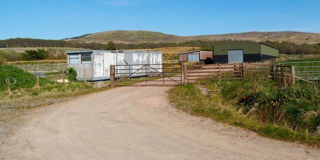
Image: © Lairich Rig Taken: 3 May 2012
There is a marker for the route on the right-hand wooden gatepost (see Image for another example). The big green barn on the right and the building next to it are the ones that are referred to in the description for Image; they are distantly visible in that view. The present photograph is a view back along the route; I was travelling in the opposite direction. The track shown in the foreground continues in a south-westerly direction until it joins the main road through Craigendoran. See Image for a view in the opposite direction.
Images are licensed for reuse under creativecommons.org/licenses/by-sa/2.0
Image Location
Latitude
56.001674
Longitude
-4.692637