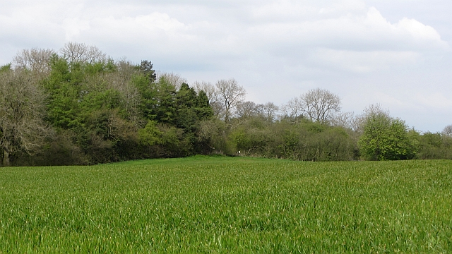
Woodland, Wheathill
Introduction
The photograph on this page of Woodland, Wheathill by Richard Webb as part of the Geograph project.
The Geograph project started in 2005 with the aim of publishing, organising and preserving representative images for every square kilometre of Great Britain, Ireland and the Isle of Man.
There are currently over 7.5m images from over 14,400 individuals and you can help contribute to the project by visiting https://www.geograph.org.uk

Image: © Richard Webb Taken: 5 May 2012
High level arable land in the Clee Hills beside a small wood. Modern maps show the site of one of the many lost villages of the Clees to be near here. What happened to cause the wholesale depopulation of these hills and those around Bromyard and Leominster? Wool price collapse, plague, Little Ice Age, clearance?

