Upper Dicker village sign
Introduction
The photograph on this page of Upper Dicker village sign by Dave Spicer as part of the Geograph project.
The Geograph project started in 2005 with the aim of publishing, organising and preserving representative images for every square kilometre of Great Britain, Ireland and the Isle of Man.

There are currently over 7.5m images from over 14,400 individuals and you can help contribute to the project by visiting https://www.geograph.org.uk
Upper Dicker village sign
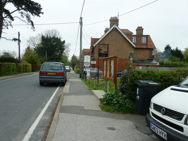
Image: © Dave Spicer Taken: 7 May 2012
The Weald Way long distance path turns right by the village notice board.
Images are licensed for reuse under creativecommons.org/licenses/by-sa/2.0
Image Location
Latitude
50.867578
Longitude
0.205183