First Portadown Presbyterian church, Portadown
Introduction
The photograph on this page of First Portadown Presbyterian church, Portadown by Albert Bridge as part of the Geograph project.
The Geograph project started in 2005 with the aim of publishing, organising and preserving representative images for every square kilometre of Great Britain, Ireland and the Isle of Man.

There are currently over 7.5m images from over 14,400 individuals and you can help contribute to the project by visiting https://www.geograph.org.uk
First Portadown Presbyterian church, Portadown
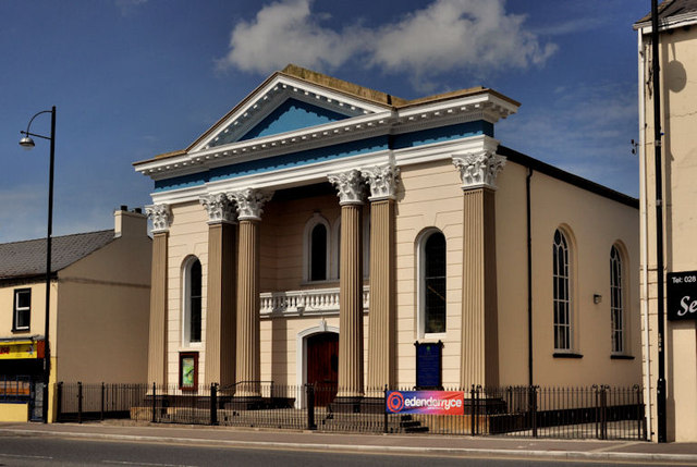
Image: © Albert Bridge Taken: 9 May 2012
See Image (November 2007) for a history of the church. Today’s view is from Goban Street on the other side of Bridge Street.
Images are licensed for reuse under creativecommons.org/licenses/by-sa/2.0
Image Location
Latitude
54.42606
Longitude
-6.437516