Footbridge over Stanley Burn
Introduction
The photograph on this page of Footbridge over Stanley Burn by Andrew Curtis as part of the Geograph project.
The Geograph project started in 2005 with the aim of publishing, organising and preserving representative images for every square kilometre of Great Britain, Ireland and the Isle of Man.

There are currently over 7.5m images from over 14,400 individuals and you can help contribute to the project by visiting https://www.geograph.org.uk
Footbridge over Stanley Burn
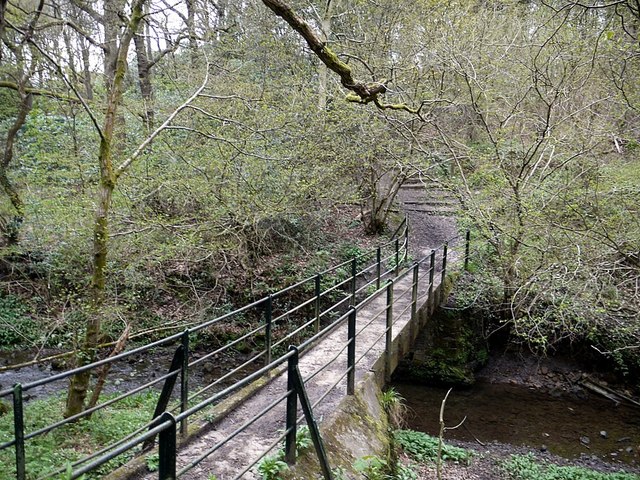
Image: © Andrew Curtis Taken: 5 May 2012
The area here is known locally as Wetherby's Gill. The footpath from Prudhoe to South Park crossing the Stanley Burn at this point pre-dates the building of Prudhoe Hall.
Images are licensed for reuse under creativecommons.org/licenses/by-sa/2.0
Image Location
Latitude
54.95361
Longitude
-1.832741