Oilseed rape field
Introduction
The photograph on this page of Oilseed rape field by Philip Halling as part of the Geograph project.
The Geograph project started in 2005 with the aim of publishing, organising and preserving representative images for every square kilometre of Great Britain, Ireland and the Isle of Man.

There are currently over 7.5m images from over 14,400 individuals and you can help contribute to the project by visiting https://www.geograph.org.uk
Oilseed rape field
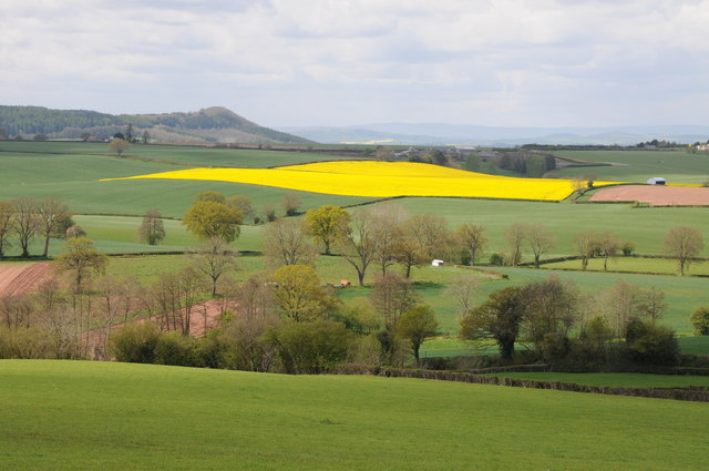
Image: © Philip Halling Taken: 6 May 2012
Oilseed rape field in the Herefordshire countryside viewed from a minor country road near Aston Crews.
Images are licensed for reuse under creativecommons.org/licenses/by-sa/2.0
Image Location


Leaflet Map data © OpenStreetMap
Latitude
51.903733
Longitude
-2.483968