Stirlingshire, Boghall Farm
Introduction
The photograph on this page of Stirlingshire, Boghall Farm by Robert Murray as part of the Geograph project.
The Geograph project started in 2005 with the aim of publishing, organising and preserving representative images for every square kilometre of Great Britain, Ireland and the Isle of Man.

There are currently over 7.5m images from over 14,400 individuals and you can help contribute to the project by visiting https://www.geograph.org.uk
Stirlingshire, Boghall Farm
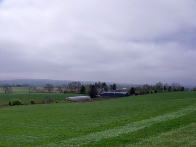
Image: © Robert Murray Taken: 3 May 2012
Down on the carse. Boghall is an extremely common name across Scotland, for obvious reasons.
Images are licensed for reuse under creativecommons.org/licenses/by-sa/2.0
Image Location
Latitude
56.17003
Longitude
-4.125434