Development site, Portadown
Introduction
The photograph on this page of Development site, Portadown by Albert Bridge as part of the Geograph project.
The Geograph project started in 2005 with the aim of publishing, organising and preserving representative images for every square kilometre of Great Britain, Ireland and the Isle of Man.

There are currently over 7.5m images from over 14,400 individuals and you can help contribute to the project by visiting https://www.geograph.org.uk
Development site, Portadown
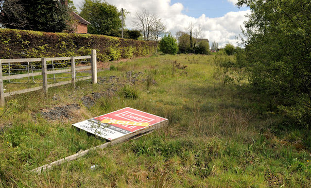
Image: © Albert Bridge Taken: 9 May 2012
A vacant site at no 13 Gilford Road. It has a “sold” sign. Described by the agents as “The property comprises a level site of c. 1.3 acres approximately. The property is bounded by detached residential dwellings and school grounds and is ideally suited for residential development, subject to planning”. This photograph appears as a matter of geographical and historical record only. I have no connection with any of the parties involved in the sale.
Images are licensed for reuse under creativecommons.org/licenses/by-sa/2.0
Image Location
Latitude
54.424152
Longitude
-6.42896