Fraserburgh, Fishing Port
Introduction
The photograph on this page of Fraserburgh, Fishing Port by Colin Smith as part of the Geograph project.
The Geograph project started in 2005 with the aim of publishing, organising and preserving representative images for every square kilometre of Great Britain, Ireland and the Isle of Man.

There are currently over 7.5m images from over 14,400 individuals and you can help contribute to the project by visiting https://www.geograph.org.uk
Fraserburgh, Fishing Port
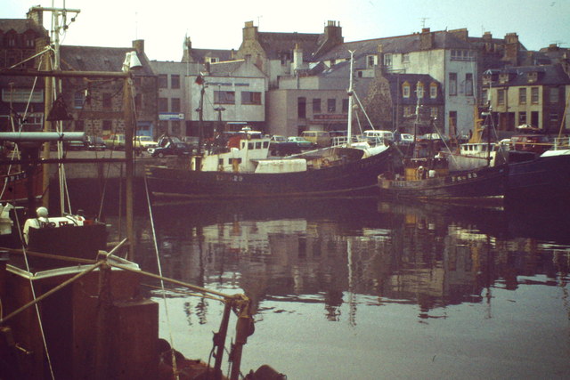
Image: © Colin Smith Taken: Unknown
Locally known as "The Broch", Fraserburgh is a long-established white fish port. http://www.visitfraserburgh.com/
Images are licensed for reuse under creativecommons.org/licenses/by-sa/2.0
Image Location
Latitude
57.694628
Longitude
-2.003341