High Street, Tring
Introduction
The photograph on this page of High Street, Tring by Bobby Clegg as part of the Geograph project.
The Geograph project started in 2005 with the aim of publishing, organising and preserving representative images for every square kilometre of Great Britain, Ireland and the Isle of Man.

There are currently over 7.5m images from over 14,400 individuals and you can help contribute to the project by visiting https://www.geograph.org.uk
High Street, Tring
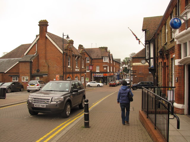
Image: © Bobby Clegg Taken: 4 May 2012
A view along B4365 High Street at its junction with Akeman Street & Frogmore Street on another disdainfully grey day.
Images are licensed for reuse under creativecommons.org/licenses/by-sa/2.0
Image Location
Latitude
51.792748
Longitude
-0.663095