A view towards Wig Fach
Introduction
The photograph on this page of A view towards Wig Fach by eswales as part of the Geograph project.
The Geograph project started in 2005 with the aim of publishing, organising and preserving representative images for every square kilometre of Great Britain, Ireland and the Isle of Man.

There are currently over 7.5m images from over 14,400 individuals and you can help contribute to the project by visiting https://www.geograph.org.uk
A view towards Wig Fach
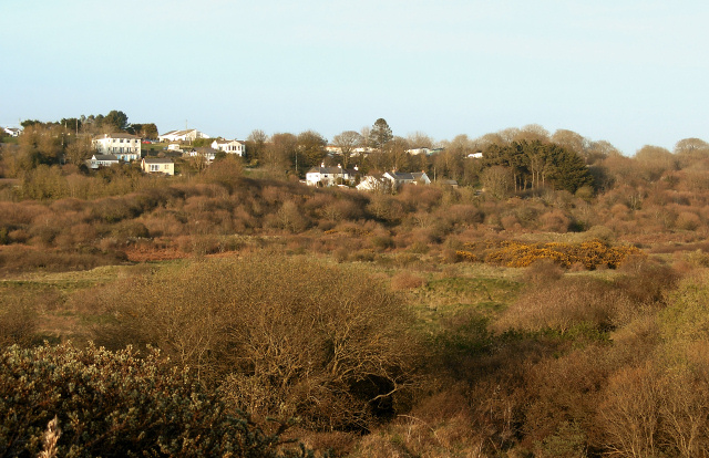
Image: © eswales Taken: Unknown
This photograph shows a similar view over duneland to the hamlet to that seen in Image, though looks a bit more to the east. It was also taken at a different spot – approximately 100 metres to the south east of where that other photo was taken. Both pictures were taken at locations on sand dunes by the Bristol Channel coast.
Images are licensed for reuse under creativecommons.org/licenses/by-sa/2.0
Image Location
Latitude
51.485426
Longitude
-3.658775