Rock Park, Newport and Codden Hill
Introduction
The photograph on this page of Rock Park, Newport and Codden Hill by Roger A Smith as part of the Geograph project.
The Geograph project started in 2005 with the aim of publishing, organising and preserving representative images for every square kilometre of Great Britain, Ireland and the Isle of Man.

There are currently over 7.5m images from over 14,400 individuals and you can help contribute to the project by visiting https://www.geograph.org.uk
Rock Park, Newport and Codden Hill
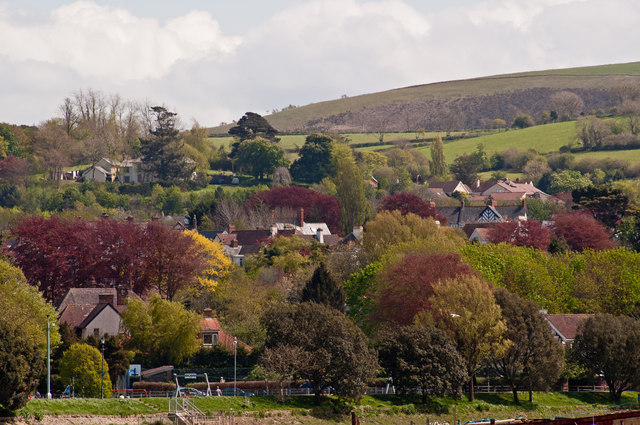
Image: © Roger A Smith Taken: 8 May 2012
At the foot of the image is Rock Park. Houses in Newport occupy the centre and in the top right is the smooth ridge of Codden Hill formed of cherts and mudrocks – deepwater sediments of Lower Carboniferous age.
Images are licensed for reuse under creativecommons.org/licenses/by-sa/2.0
Image Location
Latitude
51.064457
Longitude
-4.040871