Millburn Mews
Introduction
The photograph on this page of Millburn Mews by Lairich Rig as part of the Geograph project.
The Geograph project started in 2005 with the aim of publishing, organising and preserving representative images for every square kilometre of Great Britain, Ireland and the Isle of Man.

There are currently over 7.5m images from over 14,400 individuals and you can help contribute to the project by visiting https://www.geograph.org.uk
Millburn Mews
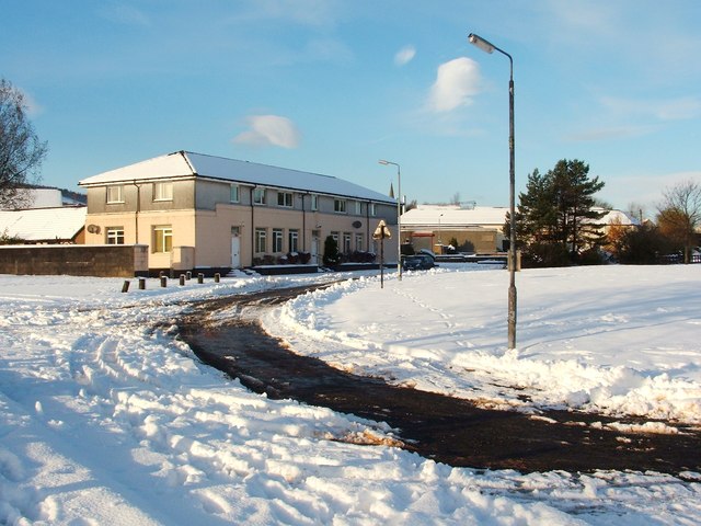
Image: © Lairich Rig Taken: 29 Nov 2010
See Image for another view of the building (formerly the local buroo, now converted into housing), and for further details. The present photograph additionally shows an open area opposite the building. Housing was later built on that space: compare Image and Image
Images are licensed for reuse under creativecommons.org/licenses/by-sa/2.0
Image Location
Latitude
55.982748
Longitude
-4.577329