Path to Chapel House
Introduction
The photograph on this page of Path to Chapel House by Michael Dibb as part of the Geograph project.
The Geograph project started in 2005 with the aim of publishing, organising and preserving representative images for every square kilometre of Great Britain, Ireland and the Isle of Man.

There are currently over 7.5m images from over 14,400 individuals and you can help contribute to the project by visiting https://www.geograph.org.uk
Path to Chapel House
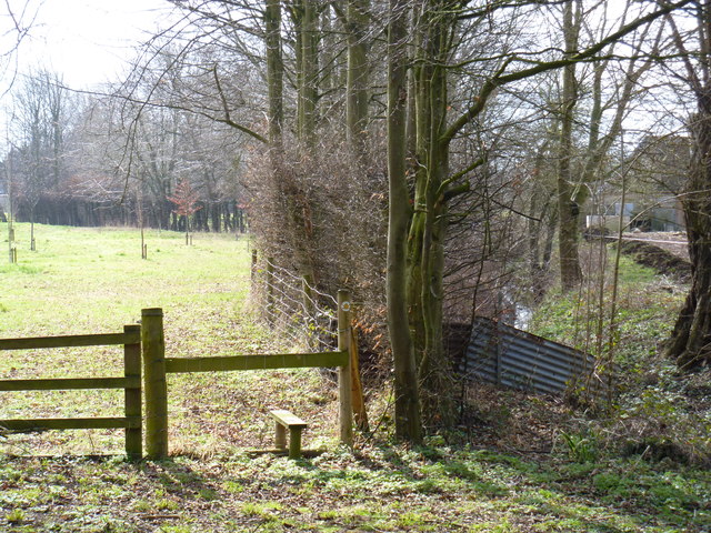
Image: © Michael Dibb Taken: 10 Mar 2012
The path follows the east bank of Noleham Brook from the road to a path junction at Chapel House. According to the OS 1:25,000 mar, the path leaves the road on the west bank of the brook and crosses to the east bank some 75 yards from the road. An unofficial diversion perhaps.
Images are licensed for reuse under creativecommons.org/licenses/by-sa/2.0
Image Location


Leaflet Map data © OpenStreetMap
Latitude
52.115654
Longitude
-1.795648