Rural-Urban fringe development
Introduction
The photograph on this page of Rural-Urban fringe development by Roger Whittleston as part of the Geograph project.
The Geograph project started in 2005 with the aim of publishing, organising and preserving representative images for every square kilometre of Great Britain, Ireland and the Isle of Man.

There are currently over 7.5m images from over 14,400 individuals and you can help contribute to the project by visiting https://www.geograph.org.uk
Rural-Urban fringe development
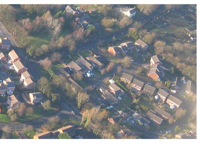
Image: © Roger Whittleston Taken: Unknown
Aerial shot from about 600ft above Dunkirk Lane
Images are licensed for reuse under creativecommons.org/licenses/by-sa/2.0
Image Location
Latitude
53.696675
Longitude
-2.73603