West Nile Street
Introduction
The photograph on this page of West Nile Street by Thomas Nugent as part of the Geograph project.
The Geograph project started in 2005 with the aim of publishing, organising and preserving representative images for every square kilometre of Great Britain, Ireland and the Isle of Man.

There are currently over 7.5m images from over 14,400 individuals and you can help contribute to the project by visiting https://www.geograph.org.uk
West Nile Street
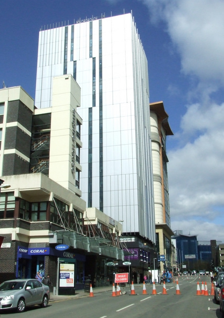
Image: © Thomas Nugent Taken: 16 Apr 2012
Empire House (built on the site of the infamous Glasgow Empire Theatre) is on the left, dwarfed by the recently renovated St Andrews House (soon to be a Premier Inn) with a sliver of the CineWorld building just visible beyond.
Images are licensed for reuse under creativecommons.org/licenses/by-sa/2.0
Image Location
Latitude
55.864064
Longitude
-4.254441