Ruin at Nutwith Cote
Introduction
The photograph on this page of Ruin at Nutwith Cote by Chris Heaton as part of the Geograph project.
The Geograph project started in 2005 with the aim of publishing, organising and preserving representative images for every square kilometre of Great Britain, Ireland and the Isle of Man.

There are currently over 7.5m images from over 14,400 individuals and you can help contribute to the project by visiting https://www.geograph.org.uk
Ruin at Nutwith Cote
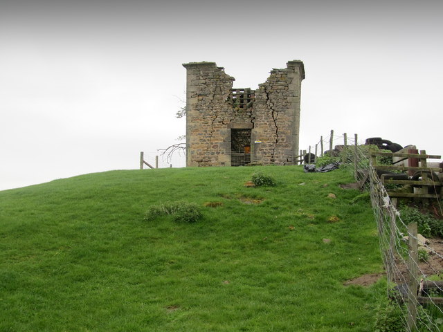
Image: © Chris Heaton Taken: 2 May 2012
This odd looking ruin stands on a small rise at Nutwith Cote above the River Ure.
Images are licensed for reuse under creativecommons.org/licenses/by-sa/2.0
Image Location
Latitude
54.204161
Longitude
-1.647214