Engine Road
Introduction
The photograph on this page of Engine Road by Andrew Curtis as part of the Geograph project.
The Geograph project started in 2005 with the aim of publishing, organising and preserving representative images for every square kilometre of Great Britain, Ireland and the Isle of Man.

There are currently over 7.5m images from over 14,400 individuals and you can help contribute to the project by visiting https://www.geograph.org.uk
Engine Road
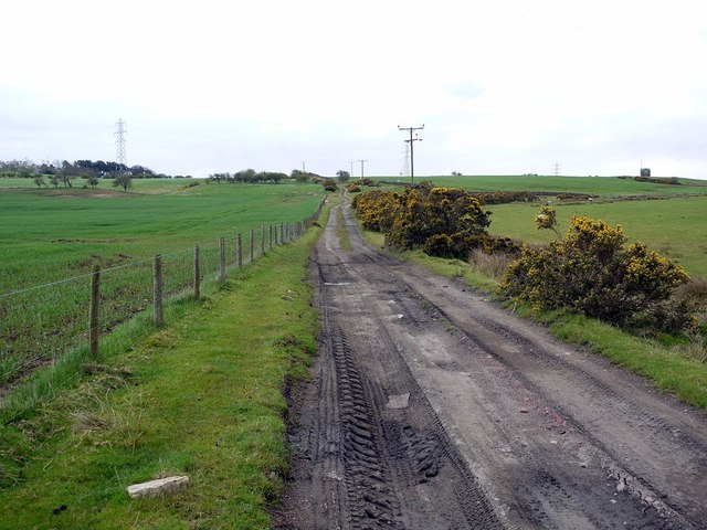
Image: © Andrew Curtis Taken: 5 May 2012
The name of this old lane is a reminder of the mining activities of former years. The track partly follows the route of a former wooden waggonway used to take coal from the mines along the ridge of Hedley Fell north then north-east to the River Tyne at Stella near Blaydon http://sites.google.com/site/waggonways/nz/05/nz0560
Images are licensed for reuse under creativecommons.org/licenses/by-sa/2.0
Image Location


Leaflet Map data © OpenStreetMap
Latitude
54.935733
Longitude
-1.836405