Level crossing north of Carr Lodge Farm
Introduction
The photograph on this page of Level crossing north of Carr Lodge Farm by John Slater as part of the Geograph project.
The Geograph project started in 2005 with the aim of publishing, organising and preserving representative images for every square kilometre of Great Britain, Ireland and the Isle of Man.

There are currently over 7.5m images from over 14,400 individuals and you can help contribute to the project by visiting https://www.geograph.org.uk
Level crossing north of Carr Lodge Farm
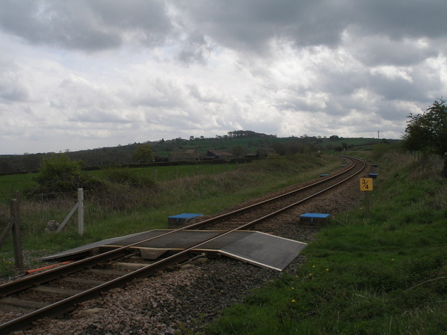
Image: © John Slater Taken: 7 May 2012
The blue covers are access to drainage
Images are licensed for reuse under creativecommons.org/licenses/by-sa/2.0
Image Location
Latitude
53.544803
Longitude
-1.64502