A guidestoop (Guidestone)
Introduction
The photograph on this page of A guidestoop (Guidestone) by Dave Pickersgill as part of the Geograph project.
The Geograph project started in 2005 with the aim of publishing, organising and preserving representative images for every square kilometre of Great Britain, Ireland and the Isle of Man.

There are currently over 7.5m images from over 14,400 individuals and you can help contribute to the project by visiting https://www.geograph.org.uk
A guidestoop (Guidestone)
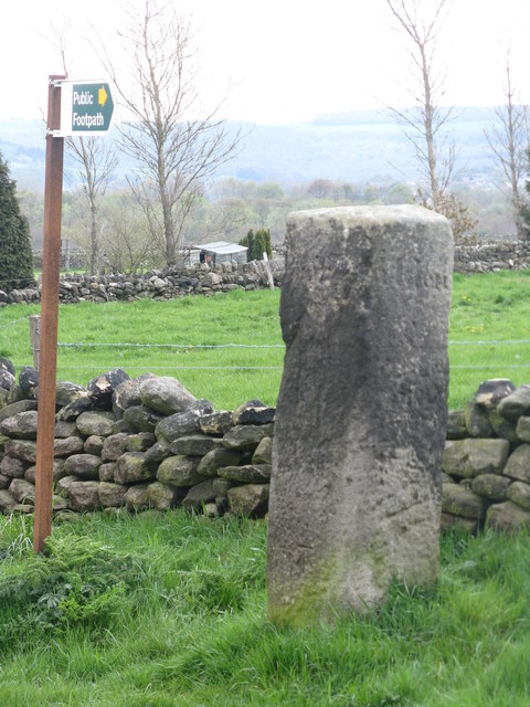
Image: © Dave Pickersgill Taken: 7 May 2012
These were set up in the late 17th Century. This stone has Penistone, Bolsterstone and one other name (Ewden?) carved into it. It is suspected that the guidestoop is not in its original position but has been turned.
Images are licensed for reuse under creativecommons.org/licenses/by-sa/2.0
Image Location
Latitude
53.480643
Longitude
-1.621597