Church Lane Radford Semele
Introduction
The photograph on this page of Church Lane Radford Semele by Nigel Mykura as part of the Geograph project.
The Geograph project started in 2005 with the aim of publishing, organising and preserving representative images for every square kilometre of Great Britain, Ireland and the Isle of Man.

There are currently over 7.5m images from over 14,400 individuals and you can help contribute to the project by visiting https://www.geograph.org.uk
Church Lane Radford Semele
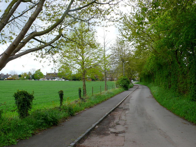
Image: © Nigel Mykura Taken: 5 May 2012
View from the church back up Church lane, which is a dead end leading only to the church, towards the main road the A425 which runs through the village.
Images are licensed for reuse under creativecommons.org/licenses/by-sa/2.0
Image Location
Latitude
52.278482
Longitude
-1.49853