Chapel at Bwlchtocyn
Introduction
The photograph on this page of Chapel at Bwlchtocyn by Peter Barr as part of the Geograph project.
The Geograph project started in 2005 with the aim of publishing, organising and preserving representative images for every square kilometre of Great Britain, Ireland and the Isle of Man.

There are currently over 7.5m images from over 14,400 individuals and you can help contribute to the project by visiting https://www.geograph.org.uk
Chapel at Bwlchtocyn
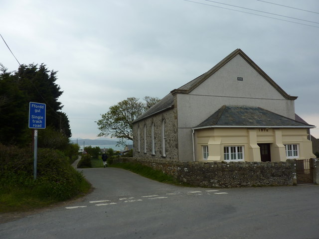
Image: © Peter Barr Taken: 1 May 2012
Dated 1796, with an extension, a porch, in 1912.A single track road leads down towards Abersoch Golf Course.
Images are licensed for reuse under creativecommons.org/licenses/by-sa/2.0
Image Location
Latitude
52.805752
Longitude
-4.507101