Chapel Street, Salford (at junction with Greengate)
Introduction
The photograph on this page of Chapel Street, Salford (at junction with Greengate) by Duncan Watts as part of the Geograph project.
The Geograph project started in 2005 with the aim of publishing, organising and preserving representative images for every square kilometre of Great Britain, Ireland and the Isle of Man.

There are currently over 7.5m images from over 14,400 individuals and you can help contribute to the project by visiting https://www.geograph.org.uk
Chapel Street, Salford (at junction with Greengate)
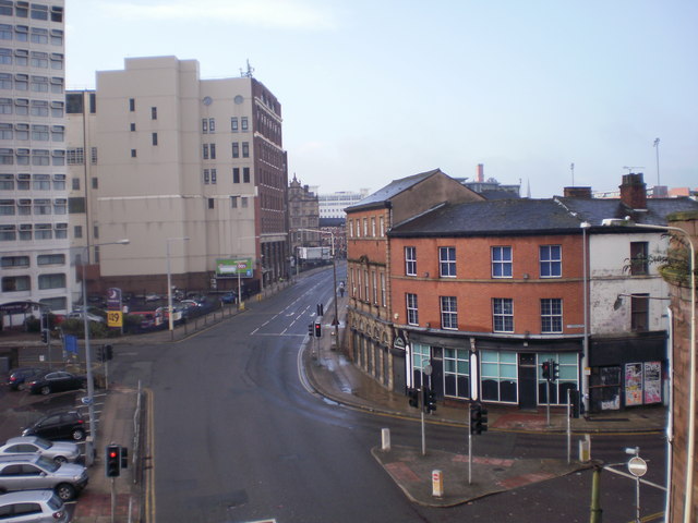
Image: © Duncan Watts Taken: 19 Feb 2010
The old buildings to the right have now been demolished to make way for new plaza development
Images are licensed for reuse under creativecommons.org/licenses/by-sa/2.0
Image Location
Latitude
53.485752
Longitude
-2.246056